
Revitalizing the Salt Marsh Trail: Using Nature-Based Solutions for Resilience and Wildlife at The Wetlands Institute

By Dr. Lenore Tedesco of The Wetlands Institute
The Wetlands Institute is a research, conservation, and education facility that was intentionally built at the coastal interface to serve our mission best. In 1969, when The Wetlands Institute was founded, and in 1972, when our facility was built, sea level rise was not yet a recognized effect. In fact, it wasn’t until the mid- to late-1980s that scientists began documenting sea level rise and working to measure and understand the changes that were taking place. Today, it’s hard not to recognize the challenges that rising seas play in our everyday lives.
Our location at the marsh interface has served us well for more than 50 years. Unfortunately, the institute, like many of our coast-associated facilities, is not very resilient and faces increasing risks to our sustainability. Many of our readers are now well-versed in the ground-breaking work of the Seven Mile Island Innovation Lab. This partnership between the U.S. Army Corps of Engineers, the New Jersey Department of Environmental Protection, and The Wetlands Institute has been successfully using clean sediments dredged from area waterways to protect navigation to restore drowning marshes.
Leveraging all that we have learned from the successful restoration of more than 100 acres of marsh in the back bays of Seven Mile Beach, and more projects coming this winter, the institute is now turning our attention to our home and planning to pioneer the use of dredged sediment to build resilience for the institute, while also benefiting marsh-dependent wildlife and enhancing the visitor experience. We’ll be using cutting-edge approaches that will further distinguish The Wetlands Institute as a leader in coastal risk reduction techniques and serve as a model for other facilities and applications.
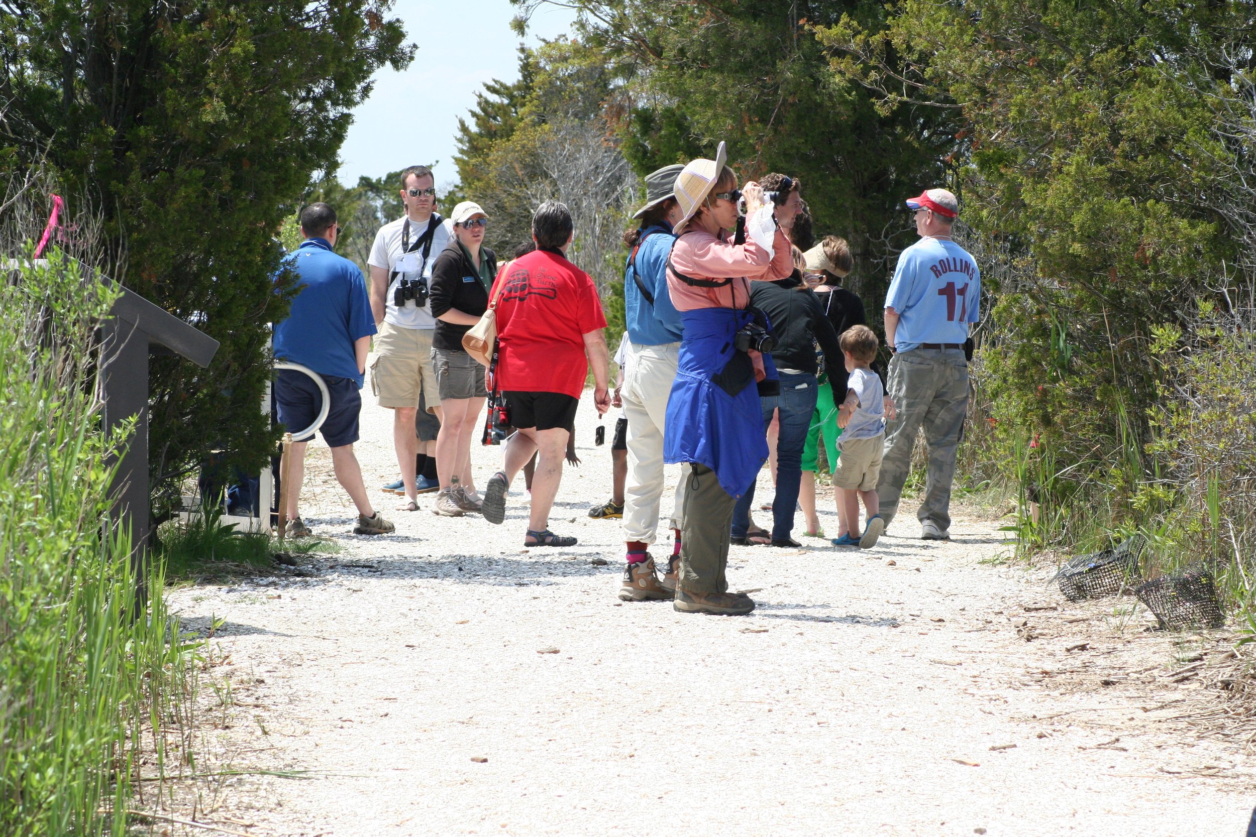
After the successful marsh restoration project at Scotch Bonnet Island (see wetlandsinstitute.org/scotchbonnet), we are turning our attention to the Salt Marsh Trail at the institute. The Salt Marsh Trail is a hub of activity and serves as one of the most significant ways we serve our mission. The trail makes the marsh accessible and provides a connection to Scotch Bonnet Creek, the dock and pier, and the boathouse. It serves as the connection to the elevated walkway, allowing visitors of all ages and abilities an opportunity to get out in the marsh to experience the wonders of an otherwise watery world. The research and conservation department relies on the dock to access our research skiffs, enabling them to continue their lifesaving work.
In addition to the ways The Wetlands Institute’s programs focus on the Salt Marsh Trail, so too do several species of sensitive wildlife. High marsh and upland habitats in close proximity to the marsh, like the Salt Marsh Trail, are highly valued habitats that are disappearing. The riparian trees are valued nesting sites and feeding areas for several species of birds, and diamondback terrapins favor the higher ground for nesting.
The Salt Marsh Trail is an old road that was built in the late 1950s to access Scotch Bonnet Creek for planned development. That development failed, and the institute was founded in its place instead. The trail elevation averages 4 feet and drops to a low of 3 feet at the boathouse. In 2000, the trail flooded twice per year; in the last five years, the trail has flooded more than 330 times; an average of 67 times per year! This flooding is not only impacting access and educational programs but also killing the mature red cedar trees on the trail and flooding nesting areas used by diamondback terrapins and coastal birds.


The Salt Marsh Trail Revitalization Project aims to raise the elevation of the salt marsh trail to enhance educational opportunities and visitor programs that are being impacted by ever-increasing flooding. It will preserve our access to the dock and boathouse for research programs, and like all our projects, will use nature-based solutions to revitalize important habitats for marsh-dependent species, especially diamondback terrapins and coastal birds. This is so much more than a project to raise a road; it embodies a vision to do better – to build resilience for The Wetlands Institute while enhancing our ability to serve our constituents whether they are visitors connecting with the marsh; our scientists studying the dynamics of the marsh; or the plants and animals that depend on healthy marshes. It’s an innovative ecosystem-based approach that can accomplish all these things.

The project design calls for raising the elevation of the Salt Marsh Trail by 2 to 3 feet (up to a total height of 6 feet), widening the trail to better accommodate programs; replacing the boathouse with a modest structure, and creating new high marsh and associated upland habitat specifically designed for diamondback terrapin nesting and coastal birds. Raising the road will involve roughly 13,000 cubic yards of fill. Working with the Borough of Avalon, we will utilize fill that is currently stored in the Graven’s Island facility along Avalon Boulevard, which is storing the sand and mud that was dredged from the back-bay basins in Avalon in 2017. So, this project will return those sediments to the coastal zone where they belong.
The grade from the newly elevated trail to the surrounding marsh is being designed in a way that will restore marsh habitat that has been lost to flooding in the past 20 years. In all, we expect to restore approximately 5 acres of lost marsh. The trail will be replanted with native trees and plants, intentionally selected and using planting palettes that will maximize the benefit to the marsh ecosystem and the plants and animals that depend on it. When it is completed, we will also have created an important barrier to storm waves, conferring additional resilience to the institute campus.
We were awarded a grant from the National Fish and Wildlife Foundation in partnership with NJDEP for the planning phases of the project. Working with AKRF civil engineers and our partners at the University of Pennsylvania, we developed models for risk analysis and projections of landscape change if we did nothing. We then designed the proposed project and plantings. The planning phase of this project has just been completed, and permits for the work have been submitted to the appropriate state and federal entities. We are applying for grant funds for the construction phase of the project and expect to begin work in the fall of 2026.
We are excited to be applying the innovative tools to a project in our home so that we can build coastal resilience, enhance educational opportunities, improve access for visitors, and benefit wildlife into the future.